
SportFits Travel
Five 3,000 m Alpine peaks you can hike without a via ferrata
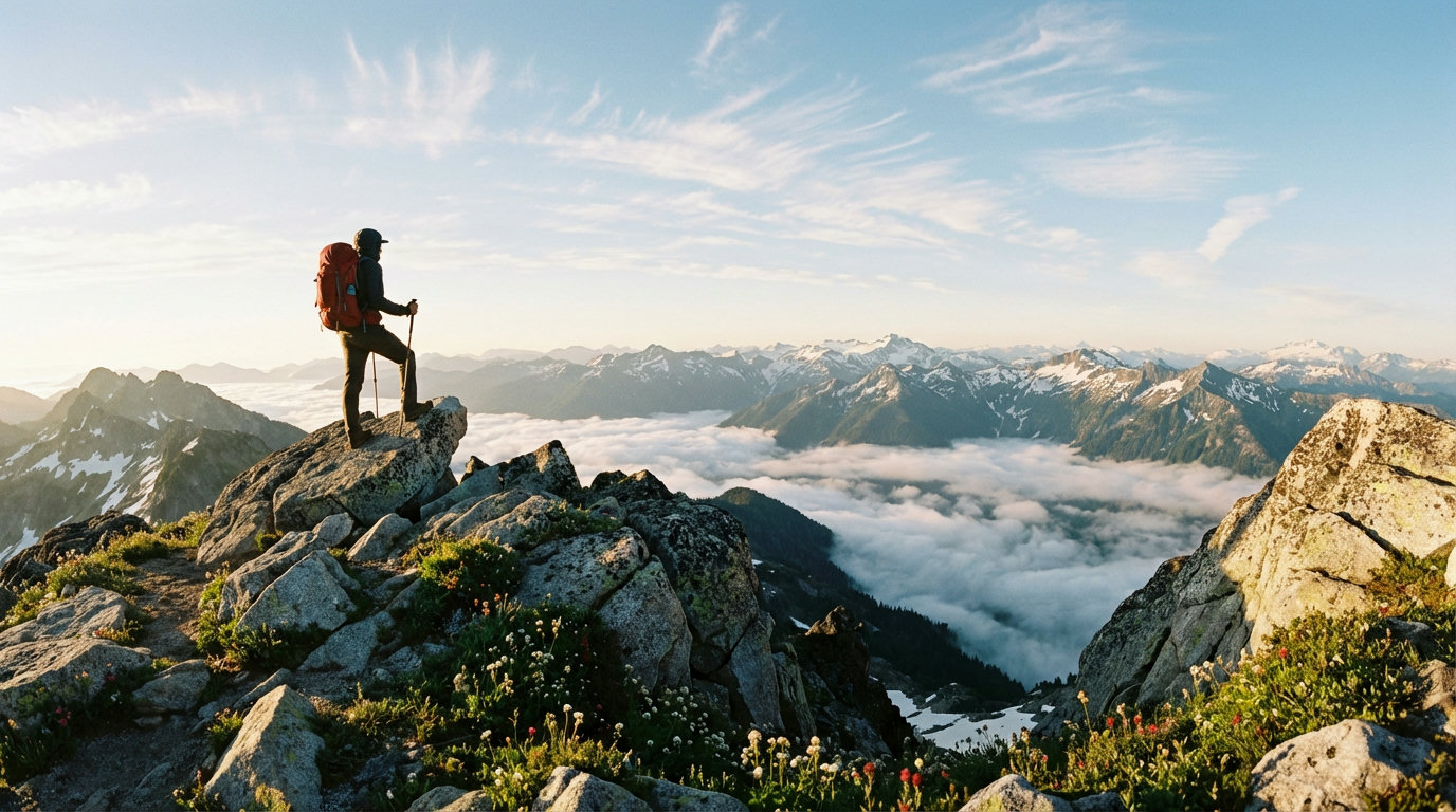
Sulzkogel, Habicht, Säuleck, Kreuzspitze and Hochfeiler: five peaks above 3,000 metres in Austria and South Tyrol that you can reach on foot, no via ferrata needed.
Key points
- 01
You can reach all five peaks without a via ferrata set. The Habicht does have cable-secured sections and small firn fields, which call for sure-footedness, a head for heights and Alpine experience.
- 02
They range from the beginner-friendly Sulzkogel (3,016 m, 3.5 hours up) to the demanding Hochfeiler (3,510 m, 5.5 hours up).
- 03
For four of the five tours, a night in a hut is worth it. Only the Sulzkogel is realistic as a day trip.
- 04
Best season: July to mid-September. Lingering snowfields in early summer can make some routes harder.
Why a 3,000 m peak without a via ferrata?
A summit above 3,000 metres sounds like climbing gear, ropes and years of Alpine experience. It doesn't have to be. In the Austrian and South Tyrolean Alps, marked trails lead to several 3,000 m peaks with no via ferrata set, no rope and no glacier.
That doesn't make these tours a stroll. You need to be sure-footed on rocky ground, fit and well prepared. What falls away is the technical barrier, and with it much of the kit.
Here are five peaks that differ a lot in difficulty, from a quick first 3,000er to a long high-Alpine tour at 3,510 metres.
Sulzkogel (3,016 m): the beginner peak
The Sulzkogel in the Stubai Alps is the perfect first 3,000 m peak. Starting in Kühtai (2,017 m), you are already above 2,000 metres. That saves climbing and makes it doable as a day trip.
Marked trail 146 crosses the dam of the Finstertal reservoir, then follows the broad south ridge to the summit. The ground is scree and boulders, but walkable all the way. At the top, a summit cross and views all round the Stubai Alps await.
Starting point: Kühtai / Dortmunder Hütte (1,948 m) Base: Dortmunder Hütte (staffed June to October) Character: Marked trail, boulder terrain in the upper section, no exposed sections
Habicht (3,277 m): the classic
The Habicht is one of the best-known viewpoints in the Stubai Alps, and with 2,000 metres of ascent from the valley it is a serious undertaking. Splitting it over two days makes sense: on day one, walk up to the Innsbrucker Hütte (2,369 m, about 3 hours from Gschnitz), and on day two, go for the summit (about 2.5 hours).
The ascent crosses steep boulders and broken rock. Some sections have fixed cables, but it is not a via ferrata in the strict sense. Absolute sure-footedness and a head for heights are a must.
Starting point: Gschnitz / Gasthof Feuerstein (1,280 m) Base: Innsbrucker Hütte (2,369 m, DAV, staffed June to October) Character: Demanding mountain tour, partly secured sections, small firn fields or remnants of the Habichtferner glacier possible
Above 3,000 metres, every step counts. Mountain boots with secure footing are a must.
Shop hiking boots ↗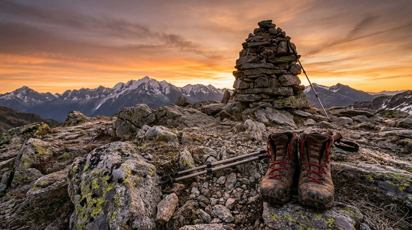
Säuleck (3,086 m): the panoramic peak
The Säuleck in the Ankogel Group (Hohe Tauern, Carinthia) is the insider tip on this list. From the Arthur-von-Schmid-Haus (2,281 m) on Lake Dösen, the normal route leads over the Grazer Scharte to the summit. Steep, but technically straightforward.
The reward is a panorama that is hard to match: Hochalmspitze, Ankogel, Hoher Sonnblick and, when visibility is good, the Lienz Dolomites. The Säuleck also has a via ferrata (grade D/E), but the normal route avoids it completely.
Starting point: Dösner Tal car park (1,600 m) Base: Arthur-von-Schmid-Haus (2,281 m, ÖAV, staffed late June to late September) Character: Steep climb over grass and boulders, waymarked
Kreuzspitze (3,455 m): the surprise
The Kreuzspitze in the Ötztal may be the most surprising peak on this list: 3,455 metres high, yet without any technical difficulty. No rock to climb, no glacier, no fixed cables. From the Martin-Busch-Hütte (2,501 m), the path zigzags up wide fields of boulders and scree to the summit.
On the way you pass the ruined Brizzihütte and a small mountain lake. At the top, a huge panorama opens up: Wildspitze, Similaun, Hintere Schwärze and the Weißkugel area.
Starting point: Vent (1,900 m), about 2 hours up to the Martin-Busch-Hütte Base: Martin-Busch-Hütte (2,501 m, DAV Berlin section, staffed late June to late September) Character: Straightforward high-Alpine tour over scree and boulders, marked throughout
Hochfeiler (3,510 m): the highest
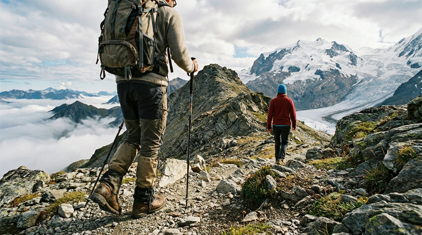
At 3,510 metres, the Hochfeiler is the highest summit in the Zillertal Alps and the most demanding on our list. The normal route from the Hochfeilerhütte (2,715 m) reaches the top over a boulder ridge and scree, without touching a glacier.
The approach from the third hairpin on the Pfitscher Joch road (1,710 m) to the hut alone takes 2.5 to 3 hours. On summit day, another 800 metres of ascent await. A two-day tour with a night in the hut is the norm here.
Starting point: Third hairpin on the Pfitscher Joch road (1,710 m), Pfitsch Valley, South Tyrol Base: Hochfeilerhütte (2,715 m, AVS, staffed mid-June to mid-September) Character: Long high-Alpine tour over boulders, very good fitness required
All five compared
Five 3,000 m peaks at a glance
| Summit | Elevation | Ascent (m) | Time up | Difficulty |
|---|---|---|---|---|
Sulzkogel | 3,016 m | 1,000 m | 3:30 h | Moderate |
Habicht | 3,277 m | 2,000 m | 5:00 h | Difficult |
Säuleck | 3,086 m | 820 m (from hut) | 3:15 h | Moderate |
Kreuzspitze | 3,455 m | 950 m (from hut) | 2:30 h | Moderate |
Hochfeiler | 3,510 m | 1,800 m | 5:30 h | Difficult |
Which peak suits you?
- 1
If you are looking for your first 3,000 m peak
start with the Sulzkogel: short approach, no technical sections.
- 2
If you want maximum panorama for moderate effort
go for the Säuleck or the Kreuzspitze. Both give you far more than they take.
- 3
If you need a real challenge
choose the Habicht or the Hochfeiler: long, physically demanding tours with a real Alpine character.
- 4
If you only have one day
the Sulzkogel from Kühtai is the only realistic option. The others are worth doing as two-day tours.
Right for you if …
Mountain hikers with experience of Alpine terrain who want to reach a 3,000 m peak without via ferrata gear.
Probably not for you if …
Complete beginners without Alpine experience. Even straightforward 3,000 m peaks require sure-footedness and good navigation skills.
Frequently asked questions
Frequently asked questions
Do I need a via ferrata set for these tours?
No. You can reach all five summits via their normal routes without a via ferrata set. The Habicht has cable-secured sections and small firn fields. You don't need a set there, but sure-footedness and a head for heights are a must.
When is the best season for hikeable 3,000 m peaks?
July to mid-September. Earlier in the year, lingering snowfields can make route-finding harder and paths slippery. Huts usually open in mid to late June.
What equipment do I need?
Sturdy, ankle-high mountain boots with grippy soles, trekking poles, weatherproof clothing, sun protection (UV radiation is much stronger at altitude), a first aid kit and enough water. Microspikes can help on lingering snow.
Can I do these tours alone?
In principle, yes, if you have Alpine experience. Always tell someone your planned route and when you expect to be back. On the Habicht and the Hochfeiler, going with a companion is a good idea, because the tours are long and the terrain is demanding in places.
Do I need to reserve the huts?
In high summer (mid-July to mid-August), booking is strongly recommended. At weekends and on public holidays, huts can fill up in September too. You will find contact details on each hut's website.
Plan your next mountain tour with our tools
Sources
- Almenrausch.at: Sulzkogel (3,016 m) from Kühtai ↗
- Hoehenrausch.de: Habicht (3,277 m) ↗
- Almenrausch.at: Säuleck (3,086 m) from the Dösner Tal ↗
- Almenrausch.at: Kreuzspitze (3,455 m) from the Martin-Busch-Hütte ↗
- Hoehenrausch.de: Hochfeiler (3,510 m) ↗
- DAV (German Alpine Club): five hikeable 3,000 m peaks in the Alps ↗
Inspiration, knowledge and gear for people who want more from the outdoors.