Wissen
Chuenisbärgli: Skiing on the slant to the finish slope
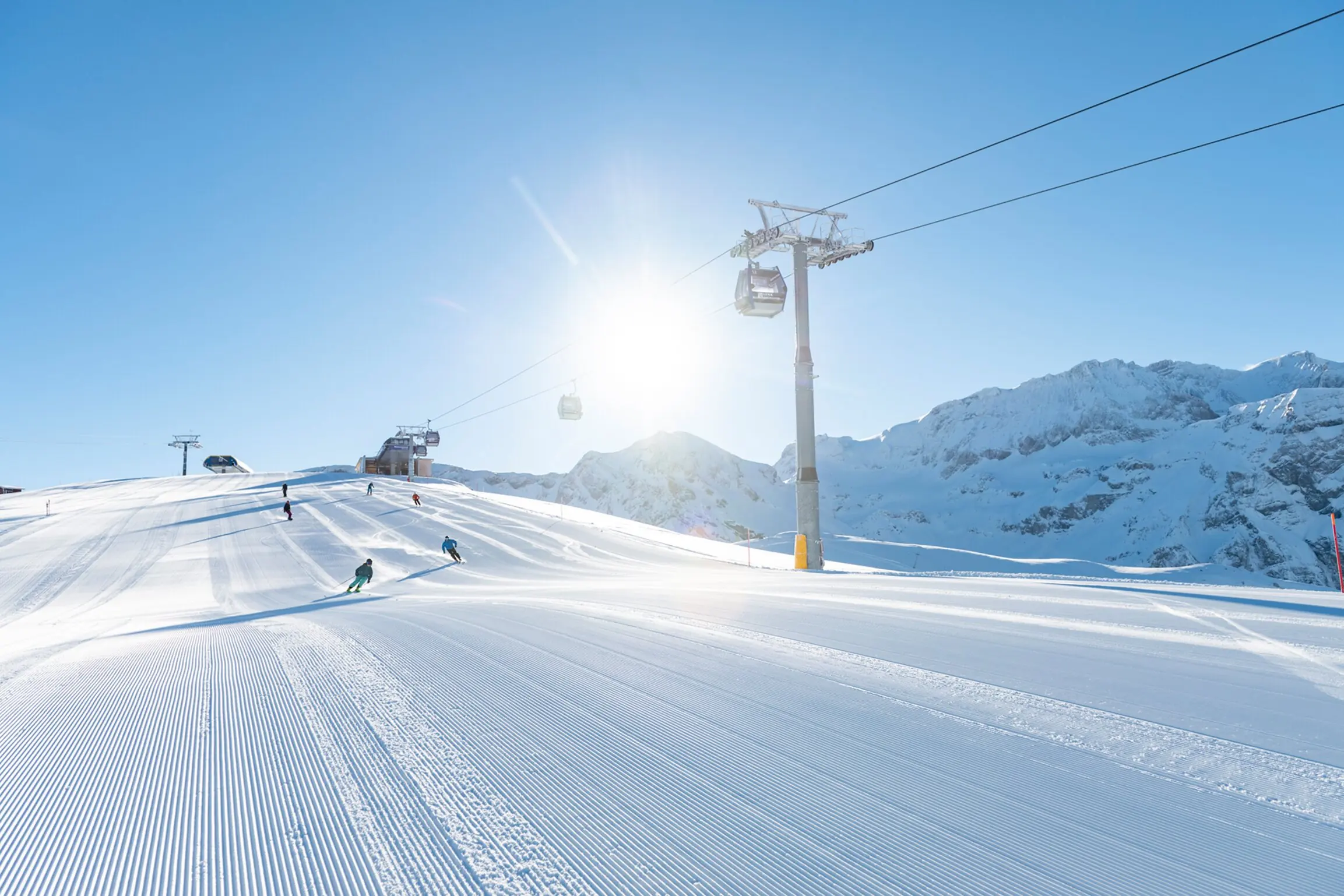
420 metres of vertical drop over 1.3 kilometres, with gradients of up to 60 per cent: what makes the giant slalom on Chuenisbärgli so difficult.
At Chuenisbärgli, the slope does not simply run downhill. It lies at an angle, changes shape and ends in a steep finish slope above Boden near Adelboden. You are watching a giant slalom in which the direction of travel must constantly be negotiated with the terrain. That makes the slope worth watching closely even without major jumps.
The final section is especially prominent from the finish area. To understand the course, however, it is worth looking further uphill: Kanonenrohr, Schnittenmedli and Wintertal form part of a course that changes rhythm several times. Our suggestion is to choose a section you want to watch deliberately before your visit.
The difference between the race course and the entire slope is particularly important here. The finish area may differ depending on the discipline, even though you are standing on the same side of the mountain. So read the plan from the start to the explicitly designated finish. Only then do course length, vertical drop and your preferred viewing position make sense together.
Giant slalom according to the 2026 organiser's programme
- 01
Start and finish: 1,730 and 1,310 metres.
- 02
Length: 1,290 metres.
- 03
Vertical drop: 420 metres.
- 04
Maximum gradient: 60 per cent.
Kanonenrohr and Schnittenmedli
The organiser's programme describes Kanonenrohr as a steep opening section. Schnittenmedli then leads from the start slope into the middle section. This sequence alone shows why the start passage cannot be viewed in isolation. The line must prepare for the next change in terrain. A turn can look good and still end badly.
In the giant slalom, a gate race with more changes of direction than the slalom, each turn needs space. On a slope lying at an angle, the way the skis are loaded changes at the same time. You can recognise this when watching the skier's body position and the timing of the change in direction. We would observe this transition first before judging a line that appears particularly tight.
The figures in the box are explicitly taken from the programme for 2026. They are a documented course profile, not the confirmed course setting for 2027. The publication distinguishes between giant slalom and slalom. For a later race visit, therefore, check the current plan, even if the familiar section names remain.
Wintertal, Chäla and the Final Steep Slope
For Wintertal, the organiser identifies a good view of a key section and the upper half of the course. This is a specific spectator perspective. If you mainly want to understand the course further uphill, you can use the current area plan to check whether this spot suits your ticket and mobility needs.
At Chäla, the programme describes the proximity to the entry into the finish slope. Here, the middle section becomes the final steep challenge. The Giisbrunni finish slope requires further changes of direction in front of spectators in the valley. Its position makes it clear why the finish alone gives only a shortened account of the sporting conclusion.
For us, the view of this entry is particularly revealing. Does a skier arrive already facing the right way, or do they have to compose themselves before the steep section? You can repeat the same question over several runs. This gives the slope a sense of continuity without drawing a direct conclusion about the result from every movement.
A racing tradition since 1955
International races have been held at Chuenisbärgli since 1955. Since the first World Cup year in 1967, the slope has been part of the series. The local editorial team describes this as a continuity that began before today's calendar. The name of the slope has long stood for a recognisable piece of racing terrain.
The slalom starts lower down. The 2026 programme gives a start height of 1,513 metres, a finish at 1,302 metres and a length of 622 metres. These figures belong to a different course from the giant slalom values in the box. If you attend both competitions, you will therefore be watching different routes through the lower part of the slope.
A single historical fastest time would be of little help for this comparison. The sequence of gates changes the challenge, and the snow changes the conditions. We recommend choosing the discipline that interests you most: wider turns across the long slope or the tighter sequence in the slalom. Both visits require time; a full day of skiing of your own fits awkwardly in between.
To Boden, not just the village
The finish arena is in Boden. Adelboden village alone is therefore too vague as a destination. The organiser's programme describes the onward journey via Frutigen and the local visitor routing; you can find current information on the race website. Do not use a bus time from an old programme when planning for the coming winter.
A spot at the finish is our recommendation for a first visit if you want to see the final steep slope and the arrivals together. Only parts of the upper sections are visible from there. If you are travelling with children or a group with different walking speeds, we also recommend checking the actual return route. A short distance on the map can include a significant difference in elevation in Adelboden.
Begin your accommodation search by deciding whether the daily journey to the ski lift or to the viewing spot should be short. Ask for precise directions to Boden, including the stop or walking route back to your accommodation.
Sources
- Adelboden World Cup organiser: programme 2026, course profile, sections and how to get there, accessed 22 October 2026 (in German) ↗
- Adelboden World Cup organiser: current visitor information, accessed 22 October 2026 (in German) ↗
- Adelboden-Lenk Tourism: race slope and location in the area, accessed 22 October 2026 (in German) ↗
Inspiration, knowledge and gear for people who want more from the outdoors.